After in Haarlem (in 1573) and Leiden
(in 1574) it turned out that inundations (the intentional flooding of a piece of land) is a good means of defense, it was time for a major project.
The rich west of the Netherlands had to be protected against possible attack troops. In 1589 Maurits van Nassau became army commander of our country, then the Dutch republic.
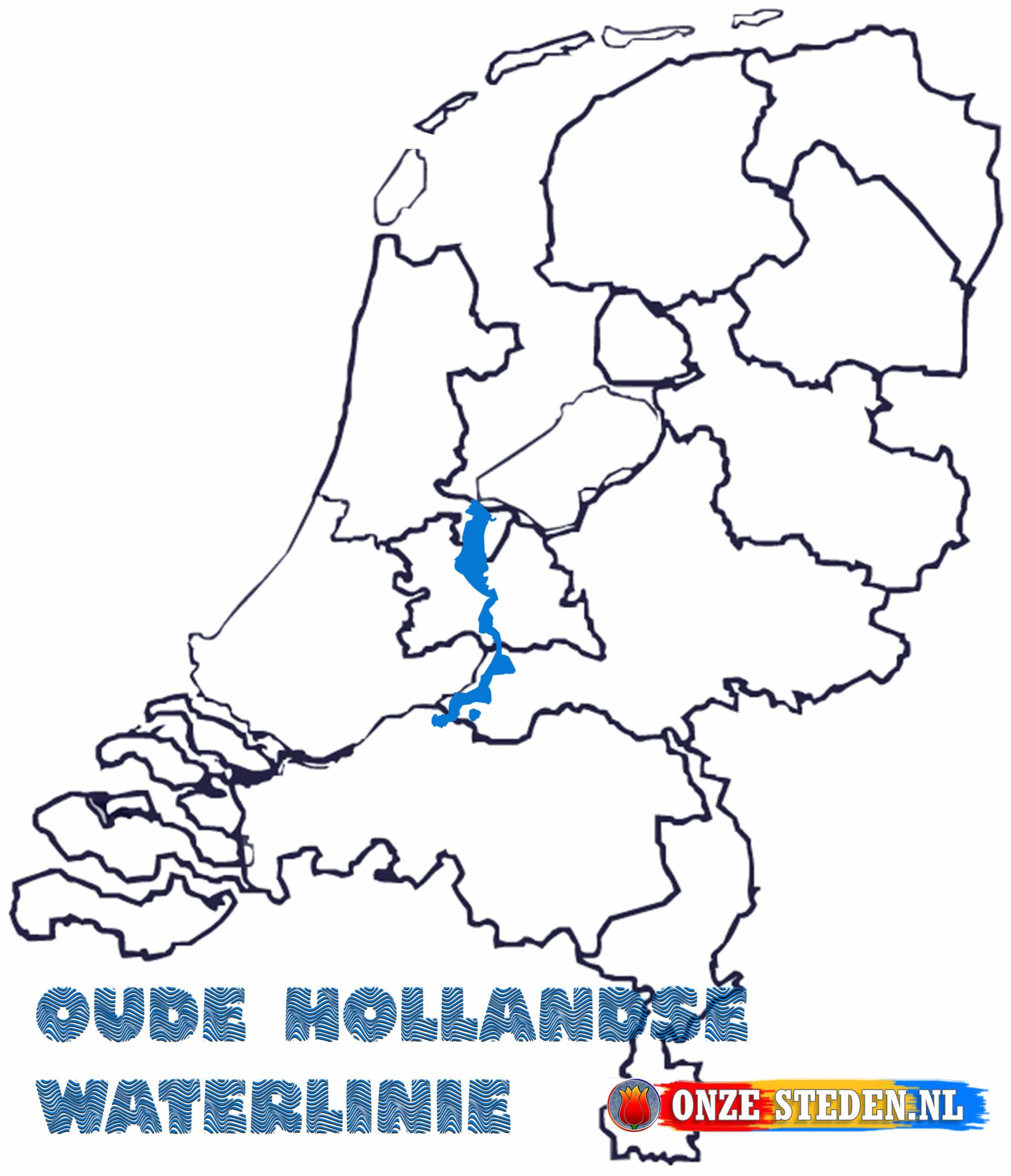
With his knowledge of the inundations near Haarlem and Leiden, he set to work and decided that the low-lying polders could be flooded for defense. This is how the Dutch Waterline was created. This line runs from the former Zuiderzee near Muiden via Nieuwesluis, Woerdense Verlaat, Zwammerdam, Bodegraven, Schoonhoven, Gorinchem and ends in Woudrichem. In general, the inundations are 3 to 5 kilometers wide, but not all parts can be protected this wide. Not all polders are wide enough for this and the rivers are also an obstacle to this. To protect this well, there are many armed fortified towns and fortresses along the line. Just pay attention when you come along the line at a river, both sides are protected with forts and or fortified towns.

The route of the Old Dutch Waterline
The Old Dutch Waterline runs from the Zuiderzee (IJsselmeer) to the river Waal.
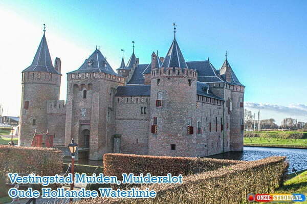
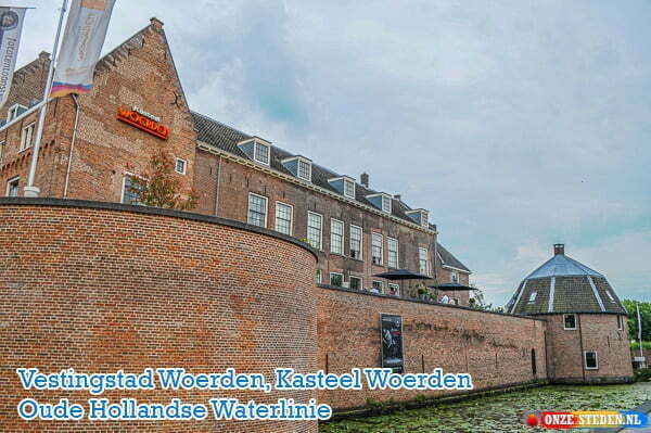
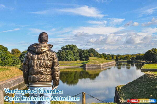
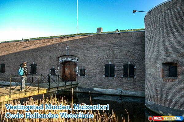
Cities on this line are: Muiden, Weesp, Naarden, news lock, Vianen, Woerden, Montfort, Oudewater, Gouda, Schoonhoven, Leerdam, Gorinchem and Woudrichem.
The use of the Old Dutch Waterline
The Old Dutch Waterline was in use in the disaster year 1672. In this year the Dutch War started and we were attacked by England, France and the dioceses of Münster and Cologne.
After this the line was deployed together with the New Dutch Waterline, click here for more information about the continuation of the Old Waterline together with the New Waterline.
