The statement of Amsterdam was built between 1880 and 1914 and of course has the function to Amsterdam to protect against possible danger. The king/queen, the government and the army could also withdraw here in the event of a possible attack.
It is a very special and beautiful line of which much can still be seen in the landscape today. Many dikes, locks and no fewer than 46 forts ensure that this line can be put into operation.
You can still take a good look at this line, there are routes you can follow to discover the entire line. Click here to go to the website of the Defense Line of Amsterdam to download the digital routes.


The route of the Defense Line of Amsterdam
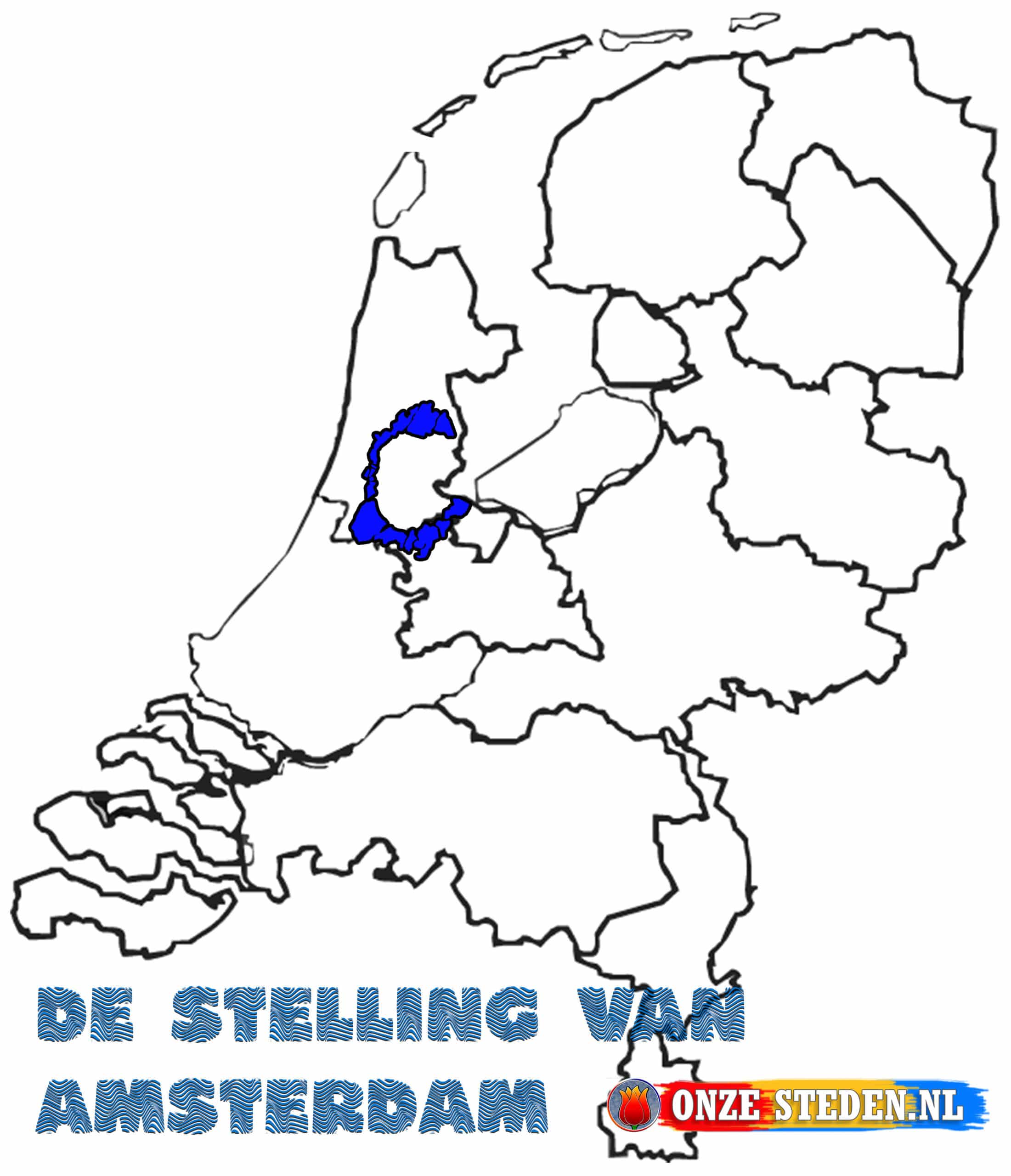
As the name suggests, the defense line of Amsterdam is located around Amsterdam, between 15 and 20 kilometers from the center of the city. On the map opposite you can see exactly how the line runs around the city.

Tip!
Using the Defense Line of Amsterdam
During both the first and second world wars, the line was flooded by inundation, but there was never any fighting.


