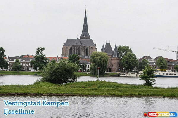
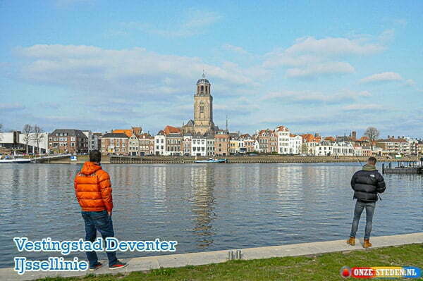
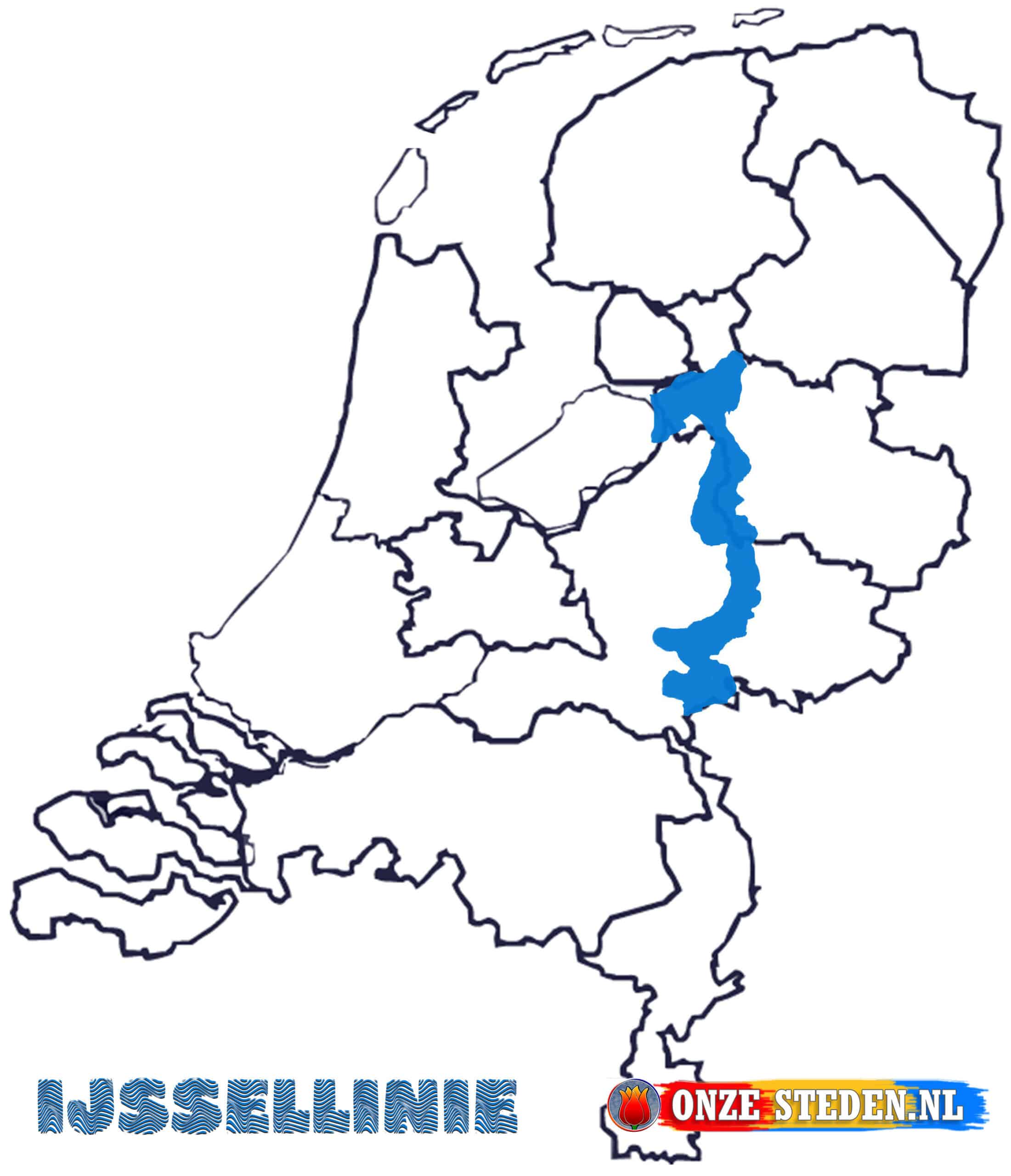
The IJssellinie was constructed in the early 50s to protect against a possible Russian invasion. As the name suggests, the line is located on the river IJssel. In the event of an inundation, the line between Nijmegen en Kampen with a length of no less than 127 meters on land will be flooded. With this inundation, the Allies from, among others, Great Britain would have time to come to the area and protect themselves against the Russians.
The construction and existence of the line had to remain a big secret, the line was disbanded in 1964, but it remained a big secret until 1990. People from the west worked on the construction of the line, they had little to do with the environment and the inhabitants, so there was little or no talk about it in the area. Even the government was not aware of the construction, it was only known by

Use of the IJssel Line


