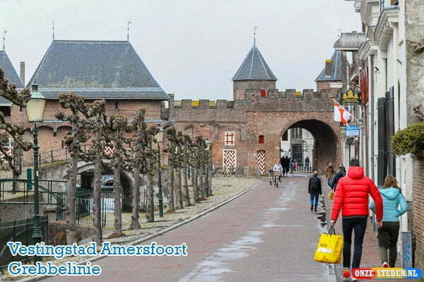
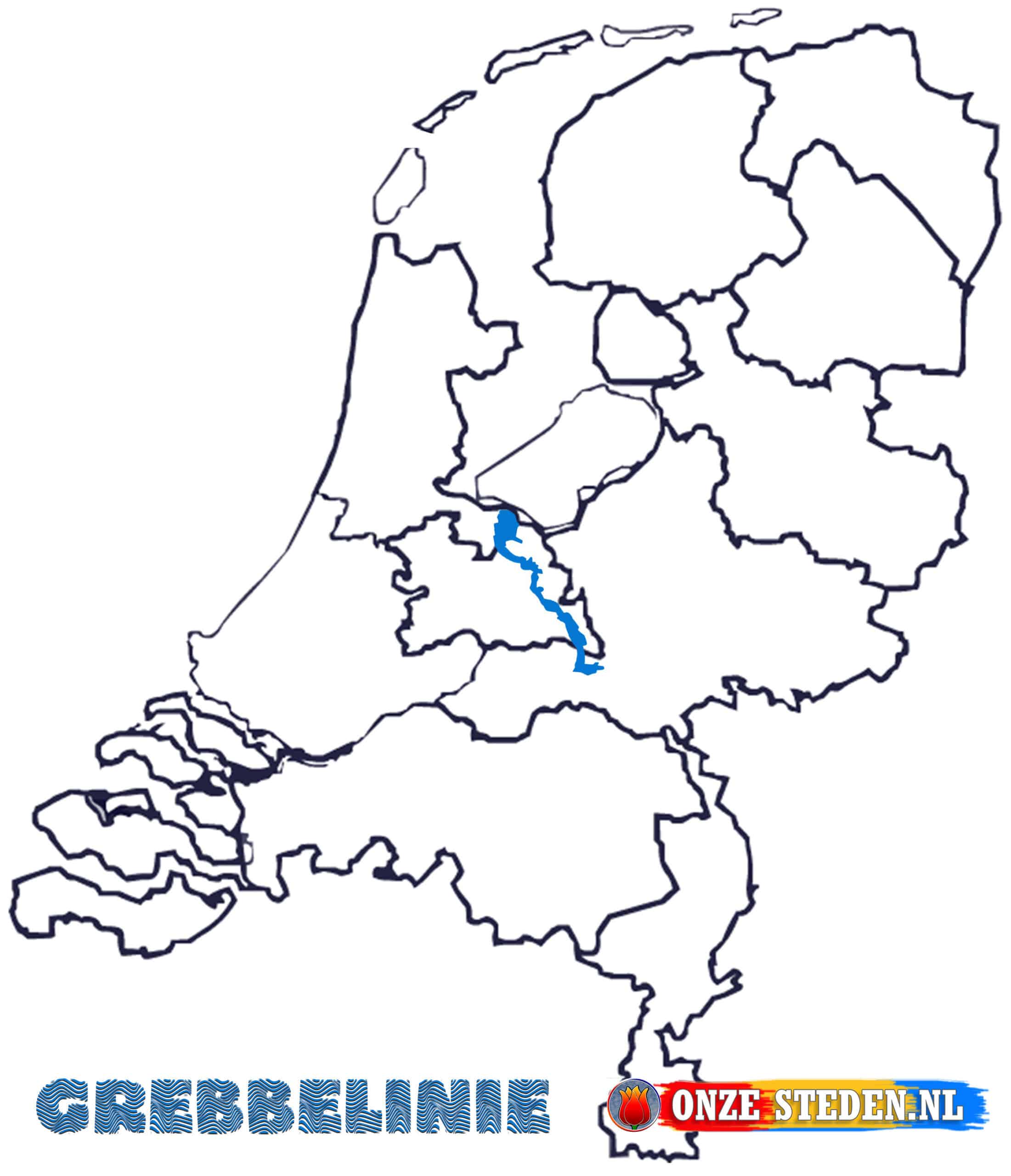
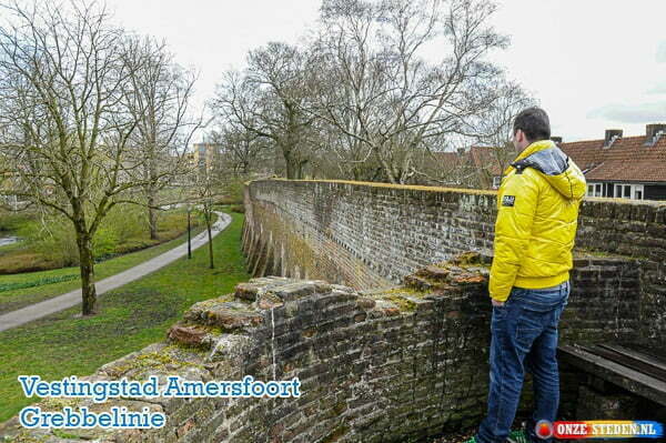
The Grebbe Line was constructed in the 18th century and is over 40 kilometers long. The Grebbelinie started at the former Zuiderzee and the current Eemmeer (IJsselmeer), between Huizen and Spakenburg. Opening the Roode Haan lock in the Slaperdijk caused an inundation near Renswoude to stop a possible enemy.
The Grebbelinie was built in 1745 as a pre-defense of the Dutch Waterline by the then Republic of the seven united Netherlands.

Route of the Grebbe Line
The Grebbe Line runs from the IJsselmeer (then Zuiderzee) to the Gelderse valley, via the Grebbeberg and Rhenen. The Grebbelinie also continues between the Utrechtse Heuvelrug and the Veluwe, passing among other things Soest, Amersfoort (NL) and Rhenen.

Tip!
Using the Grebbe Line
During the First Coalition War in 1794 the line was flooded for the first time, unfortunately without success.
Before the Second World War, in 1939 the line was also flooded, which caused a delay of several days before the Germans had passed the line. The heaviest battles were during the Battle of the Grebbeberg.

Source:
Grebbelinie.nl
Wikipedia.nl
forten.nl


